Just as your steps fell into the rhythm of the rainforest the silence would be broken by the sound of raging water and before your eyes, from seemingly nowhere appeared yet another huge, powerful and spectacular waterfall.
For someone like me who lists the niche hobby of photographing waterfalls as an interest whenever anyone asks, I was 100% in my element.

The Warrie Circuit is a 17km, grade 4 walk in the heart of Springbrook National Park in the Gold Coast Hinterland. When a friend suggested we tag along on their trip, I was fairly hesitant as this would be the second longest hike I’d attempted and certainly the longest in a few years. I was not as you would say, currently in my best fitness.
But the lure of the national park, one that I hadn’t visited recently but knew offered some of the most incredible views and lush rainforests, and of course the fact that this trail listed ‘many waterfalls’ including walking behind more than one, had me grabbing my boots and backpack with a combined feeling of excitement and slight fear that I would find the track too difficult.

Table of Contents
Getting there
The walk begins at Canyon Looking out in Springbrook National Park. To get there from Brisbane, drive down the Pacific Highway towards the Gold Coast. Living on the northside of Brisbane, we left home at around 7am, stopped to pick up a friend and then decided to have a quick pit stop at the Yatala Service Centre to grab a quick breakfast and get some sandwiches, snacks and water to fill our packs for the hike.
Usually I would have packed the food the night before but we hadn’t been at home so this was a great alternative as these roadside super centres and have so much on offer. We even managed to find vegan protein bars and a range of other healthy snacks.
Continue down the highway and take exit 69 for Southport Nerang Rd, turn right and continue along Nerang Murwillumbah Rd which will take out out past Hinze Dam through Advancetown. This is where the trip becomes scenic as you start to see the glassy water of the dam through the trees. It’s a great place to be a passenger and just watch the scenery as you pass by.
After a left turn onto Gold Coast Springbrook Rd/Pine Creek Rd, a right turn onto Springbrook Rd, and then a final left turn onto Boy Ull Rd you’ll come across the sign for Canyon Lookout, turn here and find a park.
Be warned there are no toilets at the Canyon Lookout carpark so make sure you’ve had a stop before arriving.
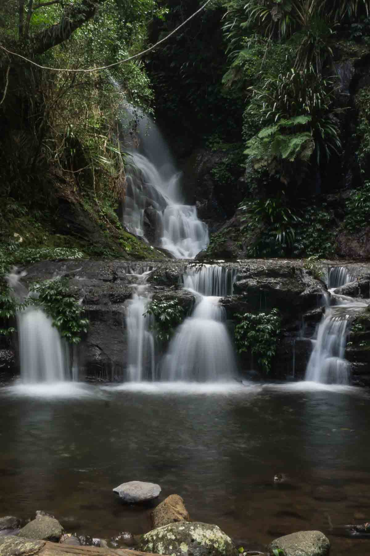
The view from Canyon Lookout is absolutely stunning, so I highly recommend taking a moment to look out and think about the walk ahead that is going to descend you into the depths of the canyon below you (I somehow forgot to take a photo here, so here is a waterfall from the track that I can’t remember the name of).

The Warrie Circuit
To begin the hike, turn right from Canyon Lookout and begin along the shared track of the Twin Falls Circuit. This walk is about 4km and is a great alternative if you want to see some epic waterfalls but don’t feel up to completing the more challenging Warrie Circuit.
The track is well signed and pretty clear as it gets a lot of traffic along it so you’ll notice that after you pass through a chasm between some large boulders the majority of walkers will branch off to the left to descend down to the base of Twin Falls while the Warrie Circuit continues to the right.
Immediately you’ll notice the path thin and become less maintained and you will begin the descent into the depths of the forest. But before you can get into a rhythm, the almighty crash of rushing water that is Rainbow Falls will greet you.

This is the first waterfall that you walk behind and having attempted this walk on a humid March day, it was invigorating to be walking into the cool mist. This is one of the best moments on the track but really, things are just getting started.
February and March have been a pretty wet couple of months in South East Queensland, and while we walked this track before the recent flooding, there was still a lot of impact from the earlier storms and the track had a few trees across the path and was very very muddy. I cannot imagine tackling this walk after the more recent rain.
Having hiking boots was a life saver as while our friends slipped and slid down the muddy track in their sneakers, I felt stable with my boots. As they sit up over my ankle as well, they provided excellent support for rock hopping and kept my feet dry when having to step through creek crossings.
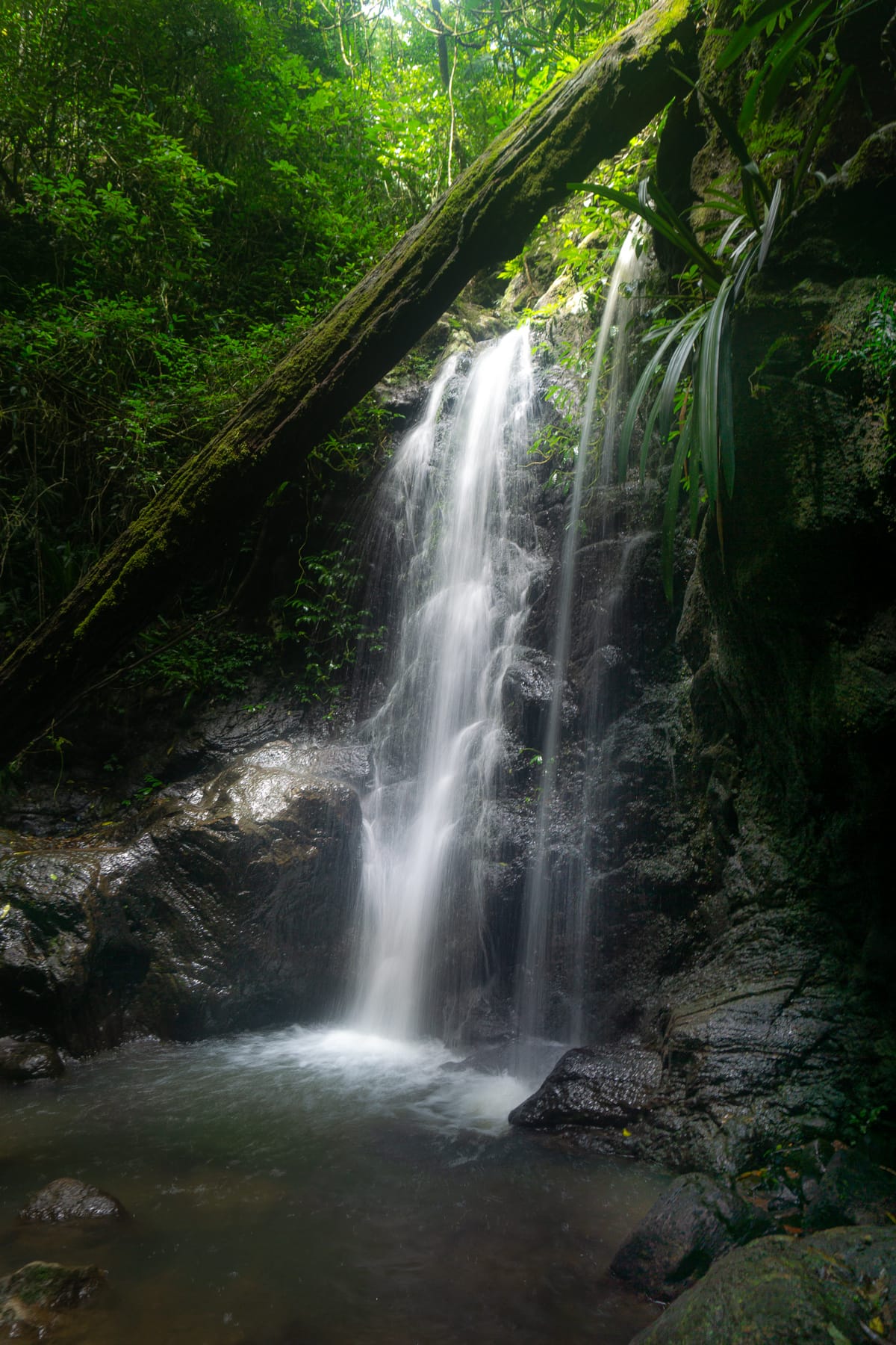
As we continued our walk along the track, we came across one of my favourite little falls – this one seemed to be unnamed but the moss covered log provided the perfect foreground to one of my favourite images from the day (pictured above).
As we reached Ngarri-dhum falls, we pulled up a seat on one of the rocks below the base and allowed the mist from the giant two falls to cool us as we enjoyed a moment to let our feet rest after the steep, muddy track so far and enjoy a well deserved snack.

It wasn’t long before we were again on our way, headed toward the much anticipated ‘meeting of the waters’, a place where all the streams and water come together as the two main creeks join together and signifies roughly the halfway point of the circuit track.
Again more waterfalls could be heard, but many of them remained hidden, stepped back from the track only adding to the wonder of what hidden places remain in this dense forest.

Finally at the point where the two creeks met, we sat down on the smooth rocks (of course first checking for leeches and finding only one) and enjoyed our lunch listening to the powerful water pass through the rocks and thinking that this is probably one of the nicest spots to simply sit and enjoy the natural beauty of the area.
As I sat here soaking in the scene around me, I was also quietly thinking about what was to come. Up until this point the track had all been downhill so there was only one way we were getting back out…we had to start the incline.
I can scramble over rocks and mud all day, but as soon as there is an incline my lack of cardiovascular endurance really comes out. So we headed off, leaving the creek behind and began our accent.

This part of the track is a solid 5km of steep switchbacks. There are stairs built with rocks and just when you think that it must be the end, it just keeps going up and up. For me, my body had started to remind me that I’d already done around 8-10km (I don’t really know at this point) and was starting to tire.
I took this walk up slow and stopped many times to catch my breath and convince myself that I could in fact continue up. As I said, it had been a while since I’d done this level of hike so in the end it became a mental battle to remind myself to just keep walking.
If you are fitter than I, then you’ll probably have a less dramatic reaction to the incline, but just be warned it is steep and long.
There are a couple of other waterfalls along this part of the track but you do need to leave the main track to see them so at this point I chose not to add any further distance to my walk, but it was hard to not see what they were.
Finally reaching the top, you walk through a gate which tells you that you have completed the Warrie Circuit and you’re now joining back onto the Twin Falls track. This sign reinforced that the track we had just come up was hard and steep – with more elevation than if we had walked to the top of the Q1 tower in Surfers Paradise, so that made me feel better.

We were then greeted by the beautiful Blackfellow Falls (pictured above) which was the perfect reward for our efforts. We sat down for a moment to rest in the cool mist and take in the size of these falls representing a perfect end to the journey. These are another one that you walk behind and due to the quantity of water following you basically had to walk straight through them and the freezing water was exactly what we needed to make it the final 2kms back to the car park.
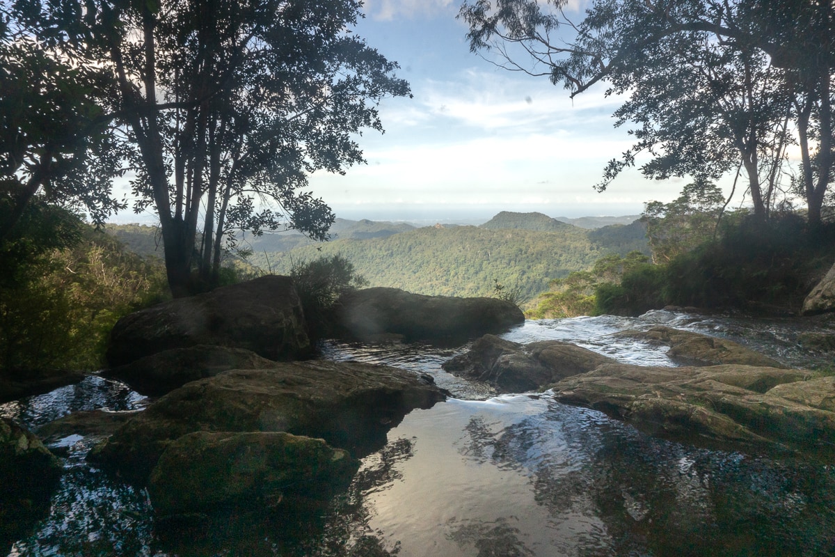
Before reaching the car park there is a final lookout spot that allows you to see out across the gorge and out towards the ocean with the full Gold Coast skyline in view. It’s a pretty spectacular view and well worth taking a few moments to soak it in.
Things to know
I said before that the Warrie Circuit is 17km. That’s what everything online says, but in reality it seems to be closer to 15km. I don’t have a GPS tracker so I wasn’t able to track the actual distance we walked that day but whatever it was exactly, you will need to remember that this hike is long and will take you a while to complete.
How long? It took me just over 5 hours but can certainly be done a little quicker with less stops and more fitness up the steep incline at the end.
There are many signs that warn you not to attempt this hike without adequate time in the day to finish before dark because the last place you want to be in the dark is the depths of the forest. It also gives a few reminders around the length and the incline of the hike.
I consider myself an experienced bushwalker but not a fit one. Meaning I know what to expect from the bush, I am prepared but my body has fallen out of conditioning with the last year being one that has been more sedentary as we have stayed inside.
I found this walk challenging but ultimately it was fine because I had prepared with the proper footwear, carrying plenty of water and allowing enough time to complete it at my own pace.
There is a lot of wildlife to be seen on the track so definitely keep your eyes open. We came across many blue tongue lizards, a massive goanna, and a carpet python enjoying its dinner (probably a possum). Just be cautious of these animals and make sure to keep your distance and walk around them.

Essential Info
- Wear a hat and/or sunscreen. The track is pretty shaded but not completely, so make sure to wear sun protection.
- Carry water, and drink plenty of it. The heat in Queensland is no joke. Make sure to stay hydrated when walking to prevent heatstroke.
- Springbrook National Park is part of the UNESCO World Heritage-listed Gondwana Rainforest.
- Leave no trace. Remember to respect the environment around you and take any rubbish out with you – never leave it on the ground.
- Be aware of the weather and make sure to double check that the track is open before heading out, particularly after heavy rain. These precautions of closing the track are for your safety so don’t put someone else’s life at risk by not following the directions.
- Pack a first aid kit in your pack. Things like band-aids, compression bandage and antiseptic are all great things to have in your hiking kit.
- The traditional owners of the land are the Yugambeh people who hold significant cultural value to this spectacular landscape.
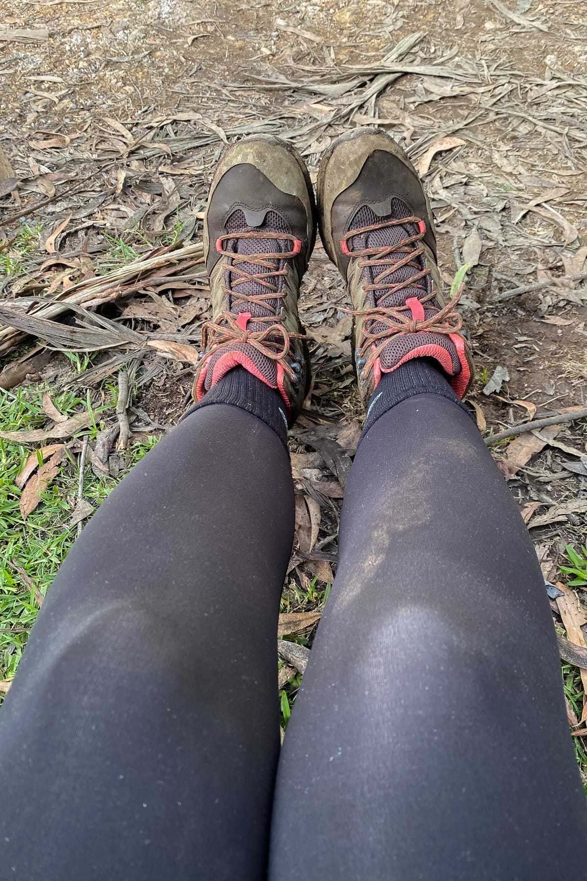
And my final tip? Take an extra shirt. Mine was soaked and covered in mud (as were my tights and boots) by the end of the walk – was it because of sweat or from walking under waterfalls – we’ll never know, but having a clean, dry shirt to change into for the trip home was so lovely.
Overall, this was easily the hardest hike I’ve done so far, but it was also quite possibly the most beautiful. For a waterfall lover like myself it was so special to be able to visit so many in just one walk and while my body was sore for a couple of days afterwards, it was so very worth it.

Leave a Reply