Girraween National Park is located in the Granite Belt in the Darling Downs region of Queensland, just 30 minutes from Stanthorpe, or 3 hours drive from Brisbane.
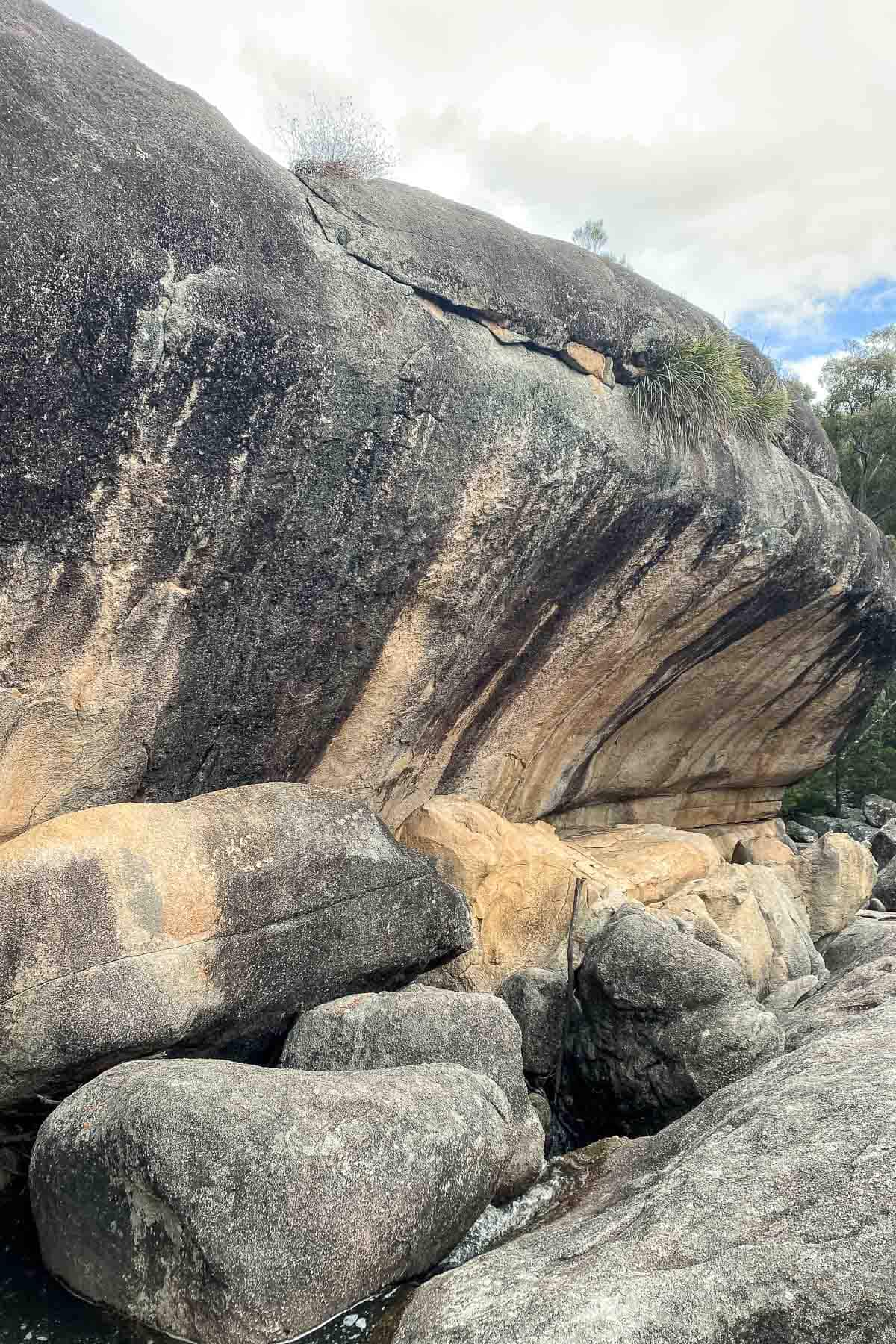
It’s an area that is uniquely identified by granite boulders that you’ll see scattered around the area, on mountains and in paddocks, but of course, to really experience the granite at scale, you must take a trip into Girraween National Park and lay eyes on The Pyramid.
The Kambuwal people are the traditional owners of the area in which Girraween National Park is situation and was an area in which many local groups would meet including the Jukambal, Kwiambal and Ngarabal.
The Granite Belt and Stanthorpe in particular is an area that is known for its rich history of wine and food, and attracts tourists from all over to experience the local flavours. But if you’re someone who is looking for some incredibly scenic outdoor adventures, well it’s also the perfect destination for you.
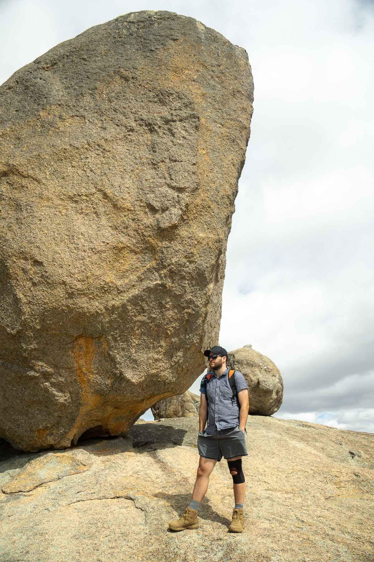
Table of Contents
Visiting Girraween National Park
Having seen many photos of Girraween National Park I knew that it was going to be a special place, unlike anything else we’d really experienced before. The epic views and the otherworldly rock formations are really something that you must get out and experience for yourself and our first trip to the area has left us wanting to return and experience even more of the walks that this beautiful park has to offer.
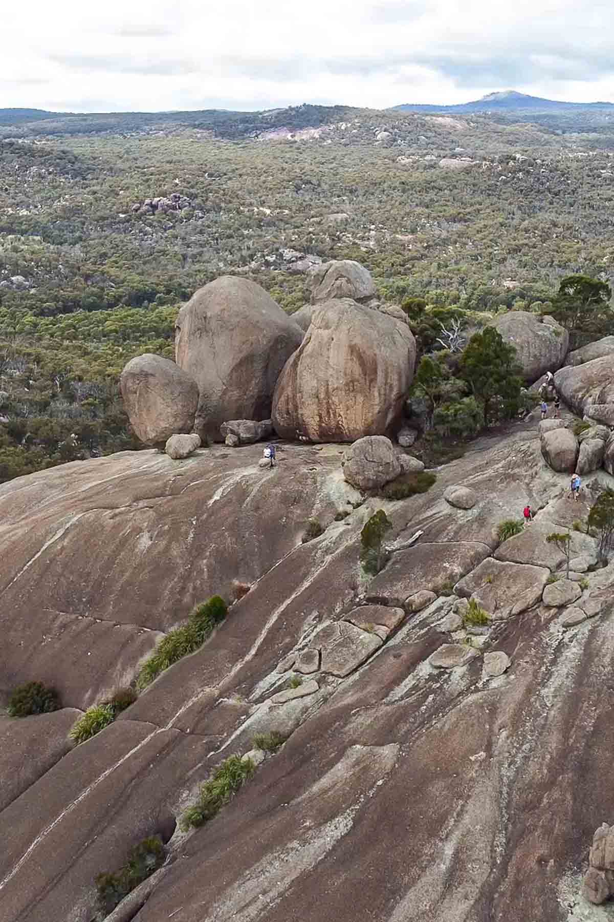
The highlight and the reason everyone visits, including ourselves, is to conquer The Pyramid, a 3.6km grade 3 hike. This epic granite mountain offers a short but intimidating climb with rewards of 360 degree views of the surrounding park.
It’s challenging, yet not impossible for most people, and the views at the top are so very very worth it.
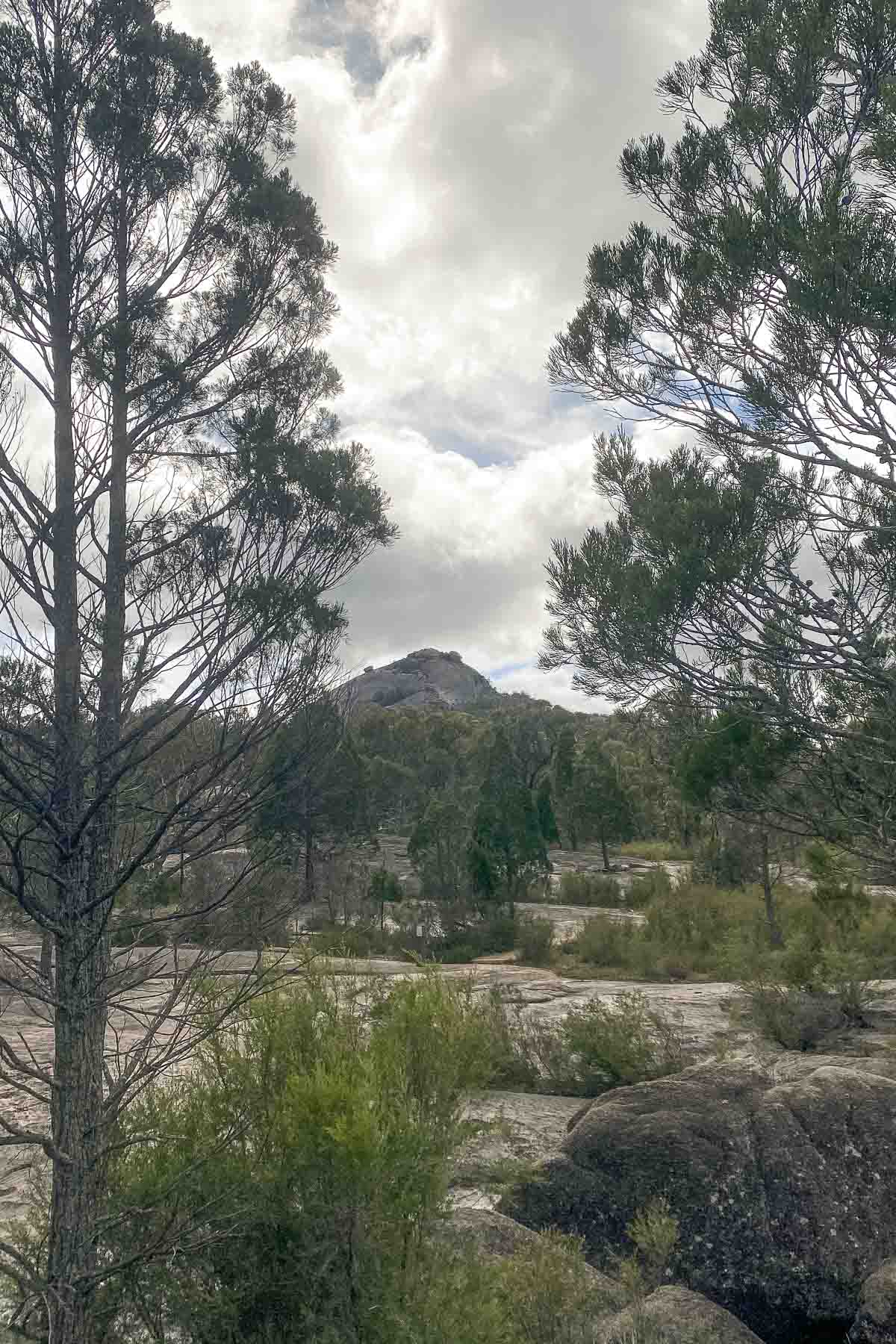
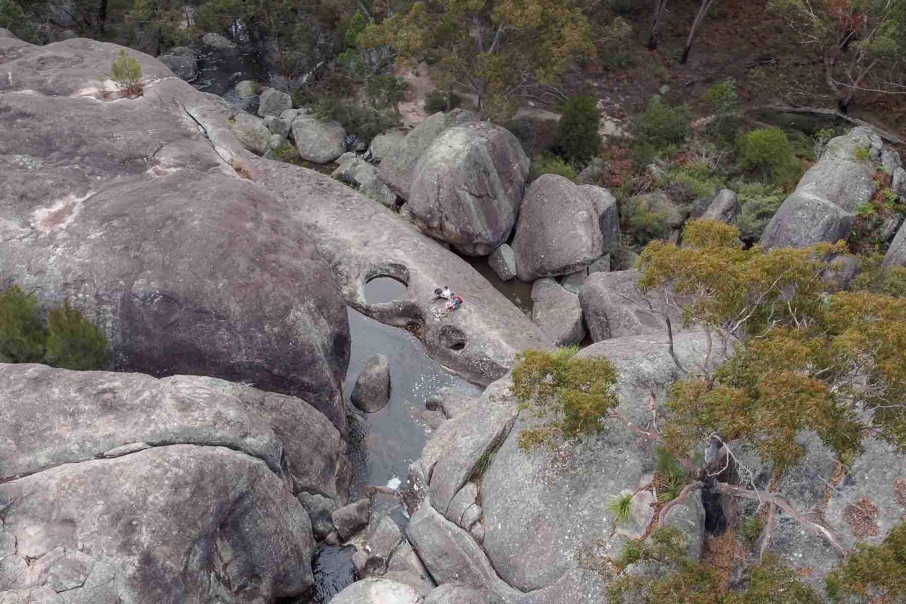
You’ll start at the Bald Rock day use area and begin along the well maintained trail, following the signs towards The Pyramid. From this track you can do a quick detour and check out the Granite Arch (rocks balancing on top of each other in a way that doesn’t seem natural), or save it and visit on your way back down like we did.
The walk itself isn’t far, and after a little while of walking along the track, you’ll reach some steps and the climb begins!
As you reach the top of the stairs you’ll see the landscape ahead of you open up and the grey of the granite rock appear. You’re now at the base of the rock climb portion and the path itself disappears, replaced by white markers on the rock indicating the best path up.
This is where you’ll start to understand the steepness of the climb. The higher you go, the steeper it gets.
There are a lot of different accounts of this climb online and truth be told, I witnessed everything. There were literally people of all abilities making their way up, from small children to grandparents and even parents with their tiny babies strapped to their chests, and the biggest difference I could tell between those that found it too challenging was more about the mental side of it rather than the physical.
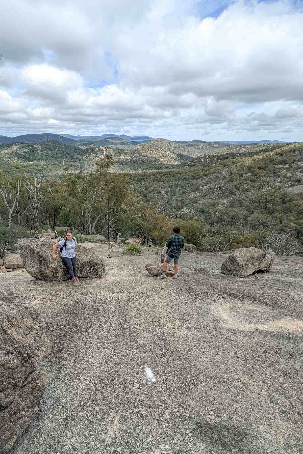
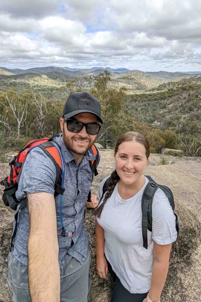
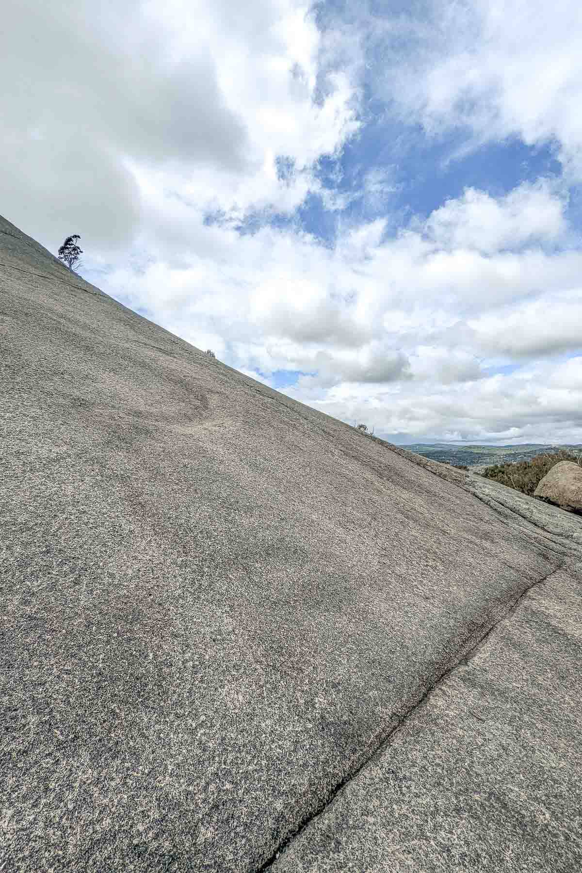
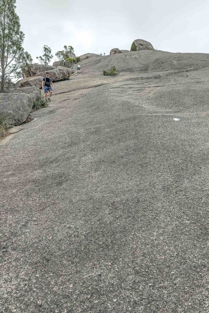
As one man we passed put it when he was trying to rationalise with his young son why he felt it was too dangerous for the boy to go much further ‘there are grown ups crying up there’. We did in fact pass several people who had let a fear of heights ruin their experience. But for the majority of people, just taking it a step at a time was enough to be able to keep pushing up the rock.
You don’t need to scramble on your hands and knees as some suggest, however if you are feeling a little unsteady this can be a great option to lower your centre of gravity.
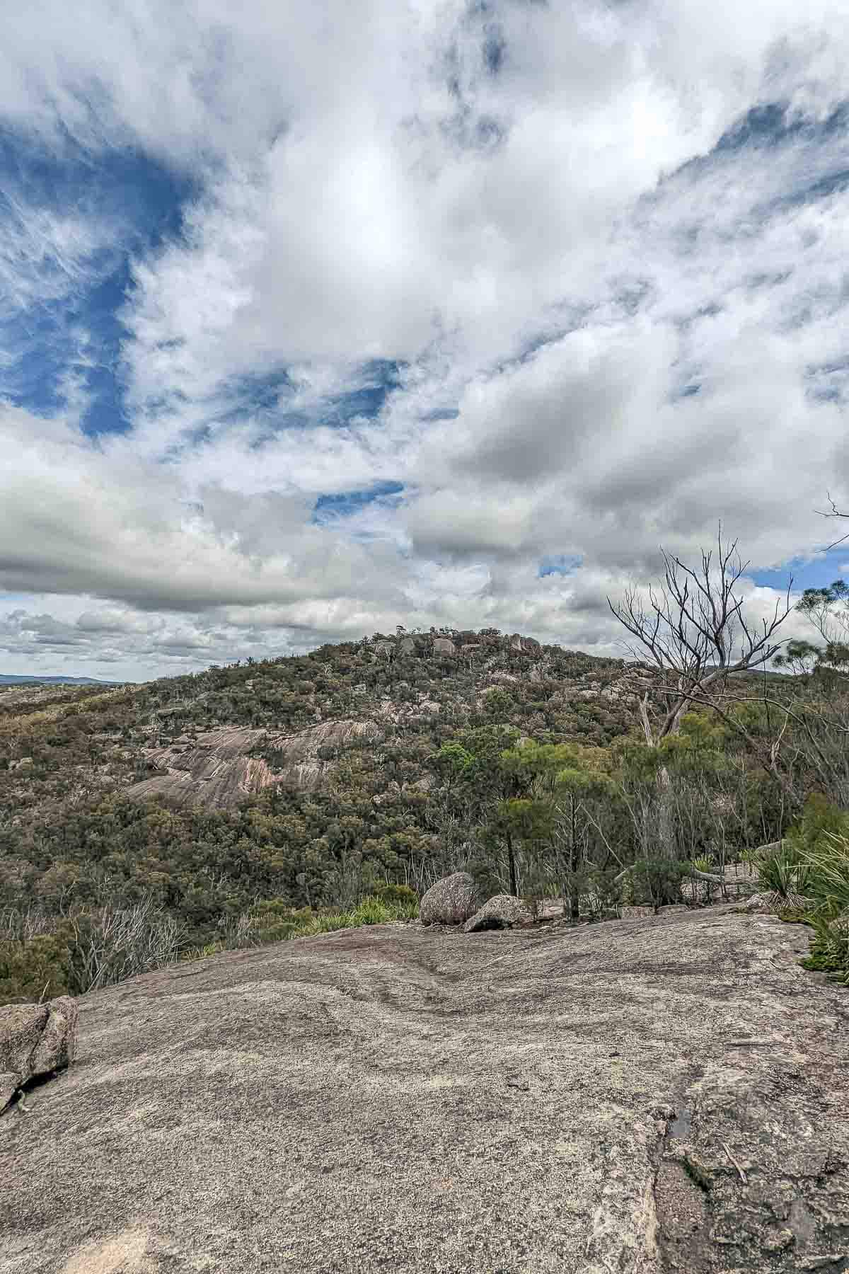
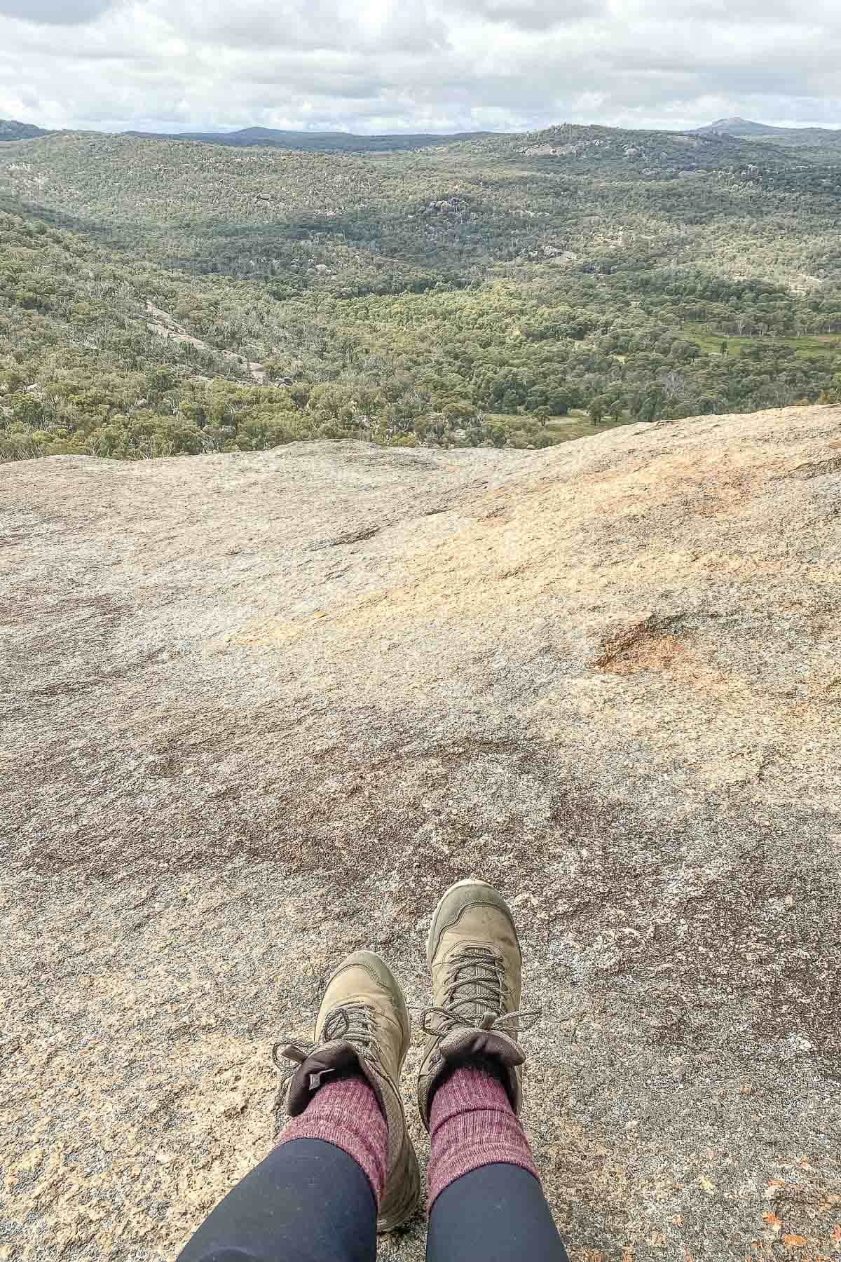
As you make your way up, don’t forget to stop and admire the view. It really is something spectacular as you have a clear line of sight from where you are standing out in front of you.
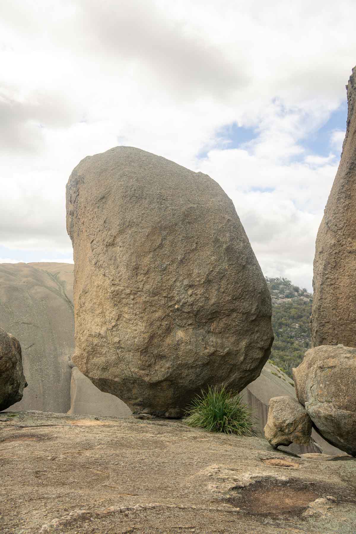
Once you get close to the top and the rock starts to flatten out again, the markers will take you around to the final rock scramble up to the summit. If instead you go left, this is where you’ll find the balancing rock – something that seems to defy physics.
I found this side super peaceful for a rest, on a busy day we had it all to ourselves, and the views are something very special.
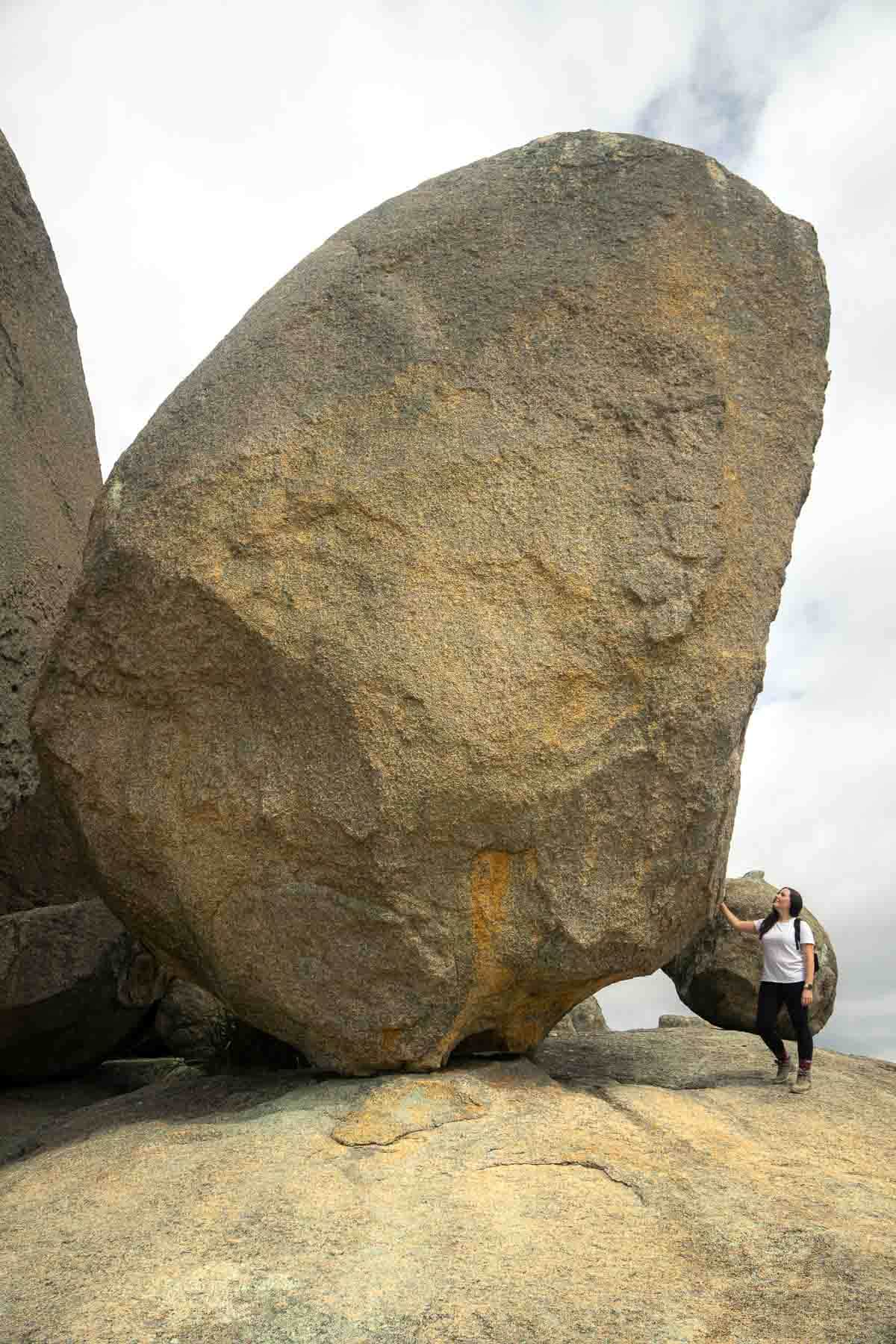
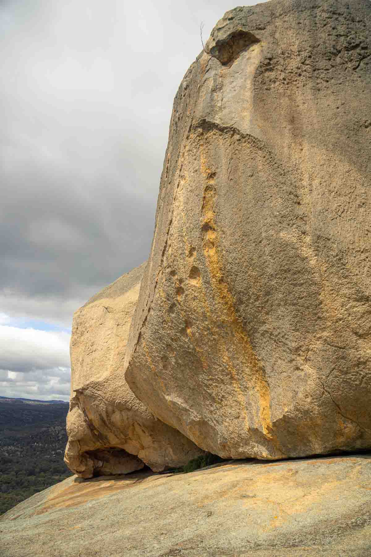
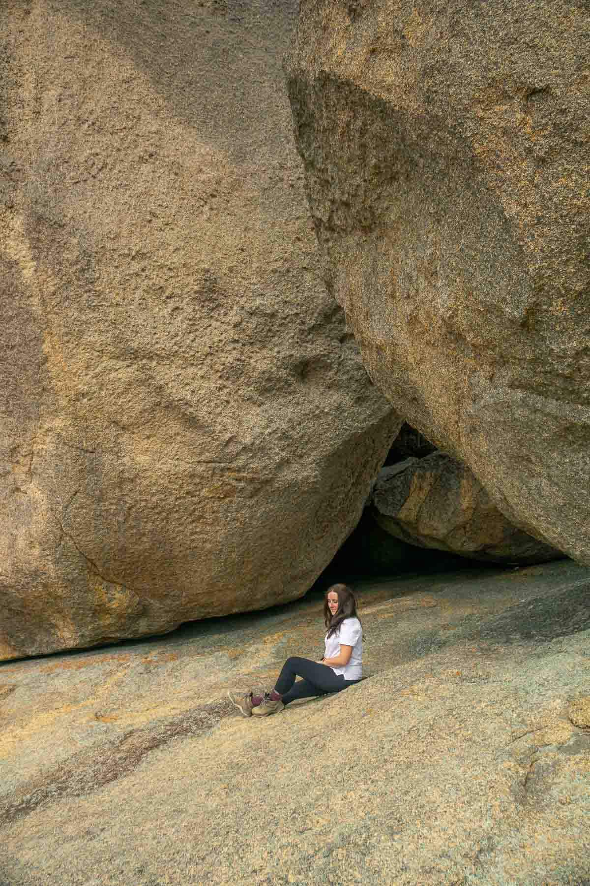
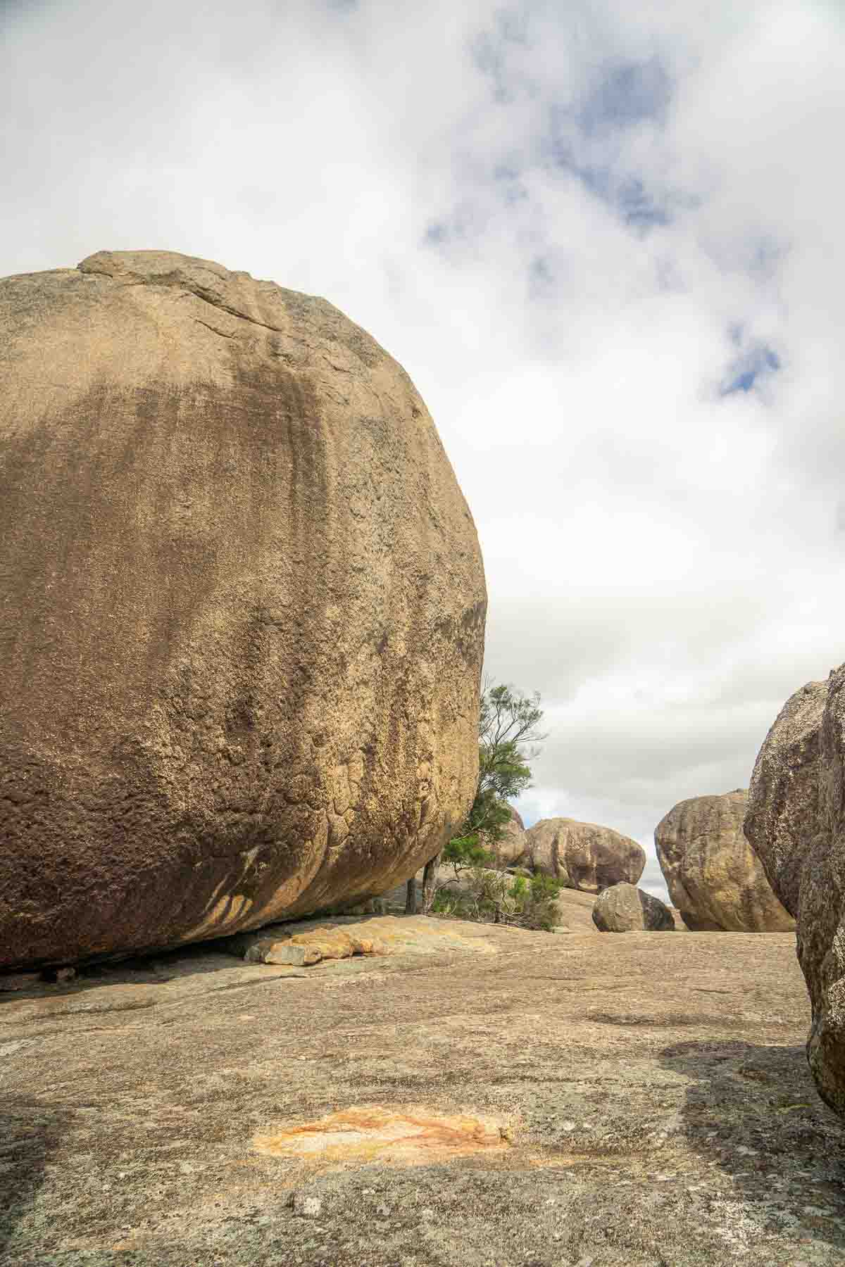
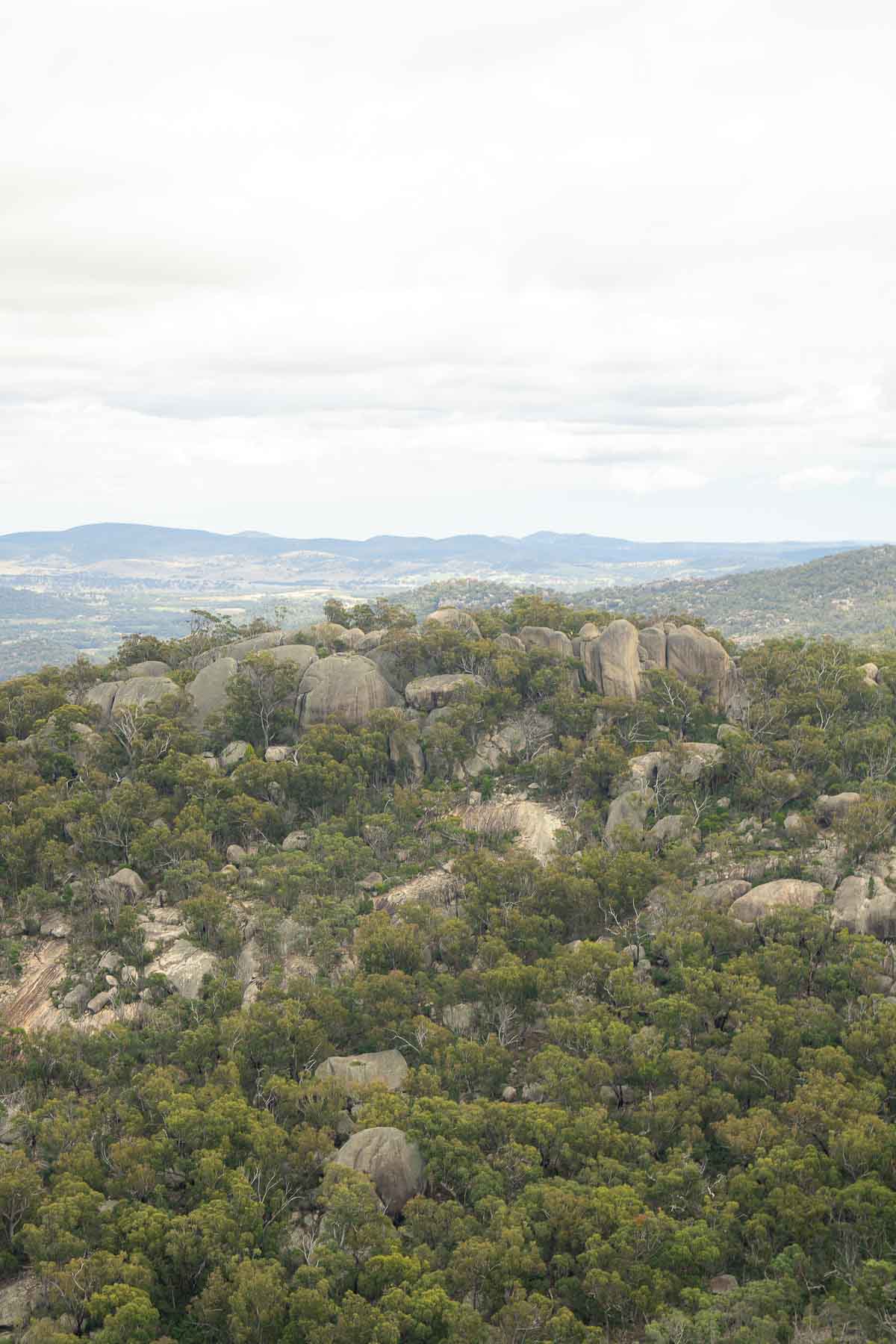
Finally we made ourselves to the very top for the full 360 degree view of Second Pyramid, Castle Rock, The Sphinx and Turtle Rock and basically everything else within Girraween.
To be honest, after the steep climb up I was slightly worried about the return journey down, but it was actually much easier than I expected.
My number one tip for this climb would definitely be to wear really good, grippy shoes. I wore my hiking boots and they just gave me the confidence that I wouldn’t slip with each step and that made such a difference. Most people do it in sneakers, but again just make sure they have a really good, grippy sole.
The return journey was much easier and we were still running on the adrenaline from having made it to the top! On the way back we took the path towards the Granite Arch and stopped here for rest and some morning tea.
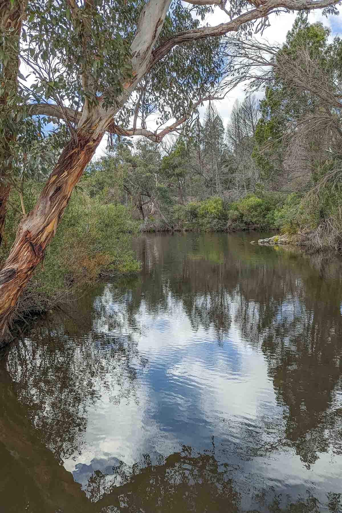
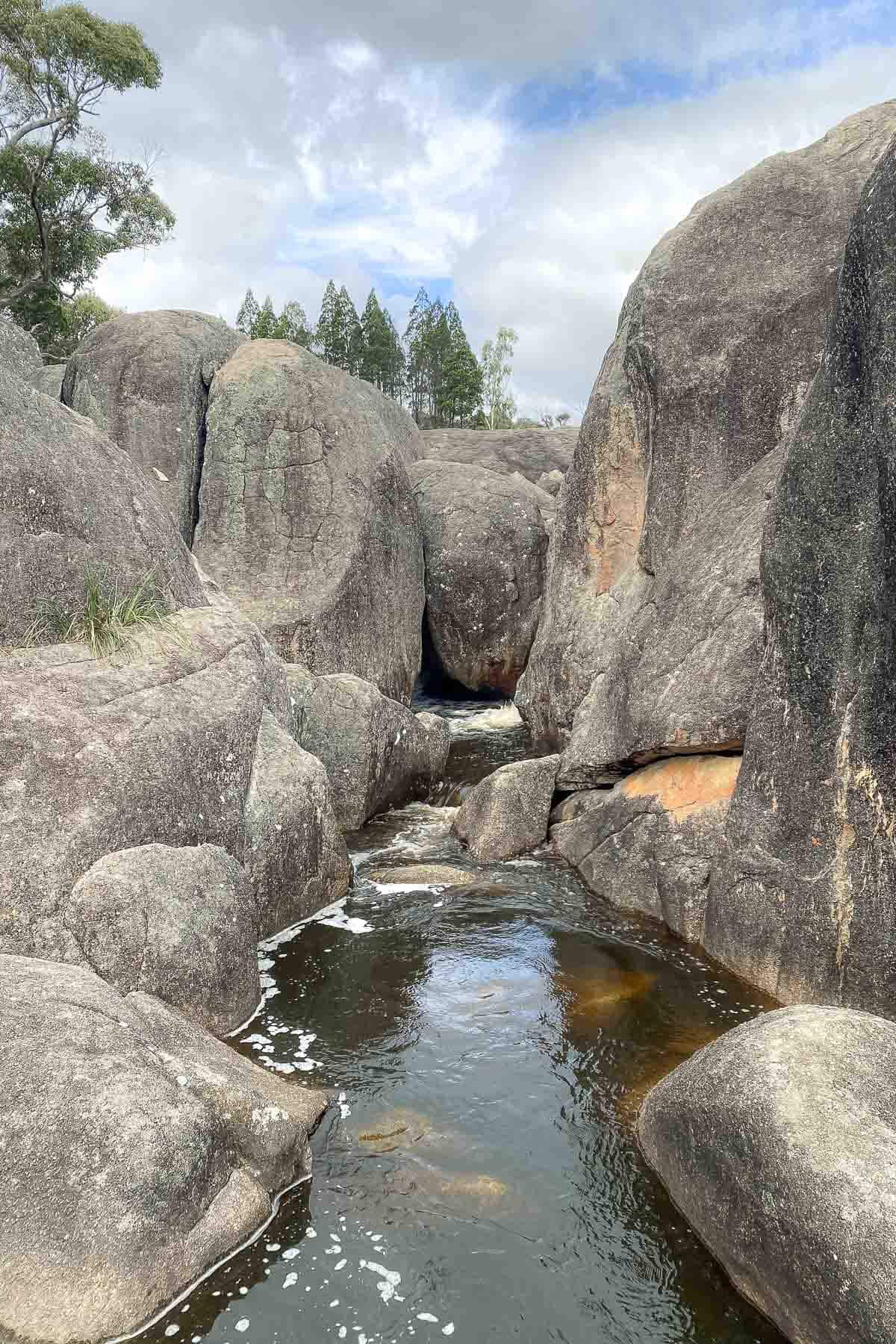
We took our time getting back to the carpark, wandering around Bald Rock Creek and listening to the sounds of the creek rushing over the rocks.
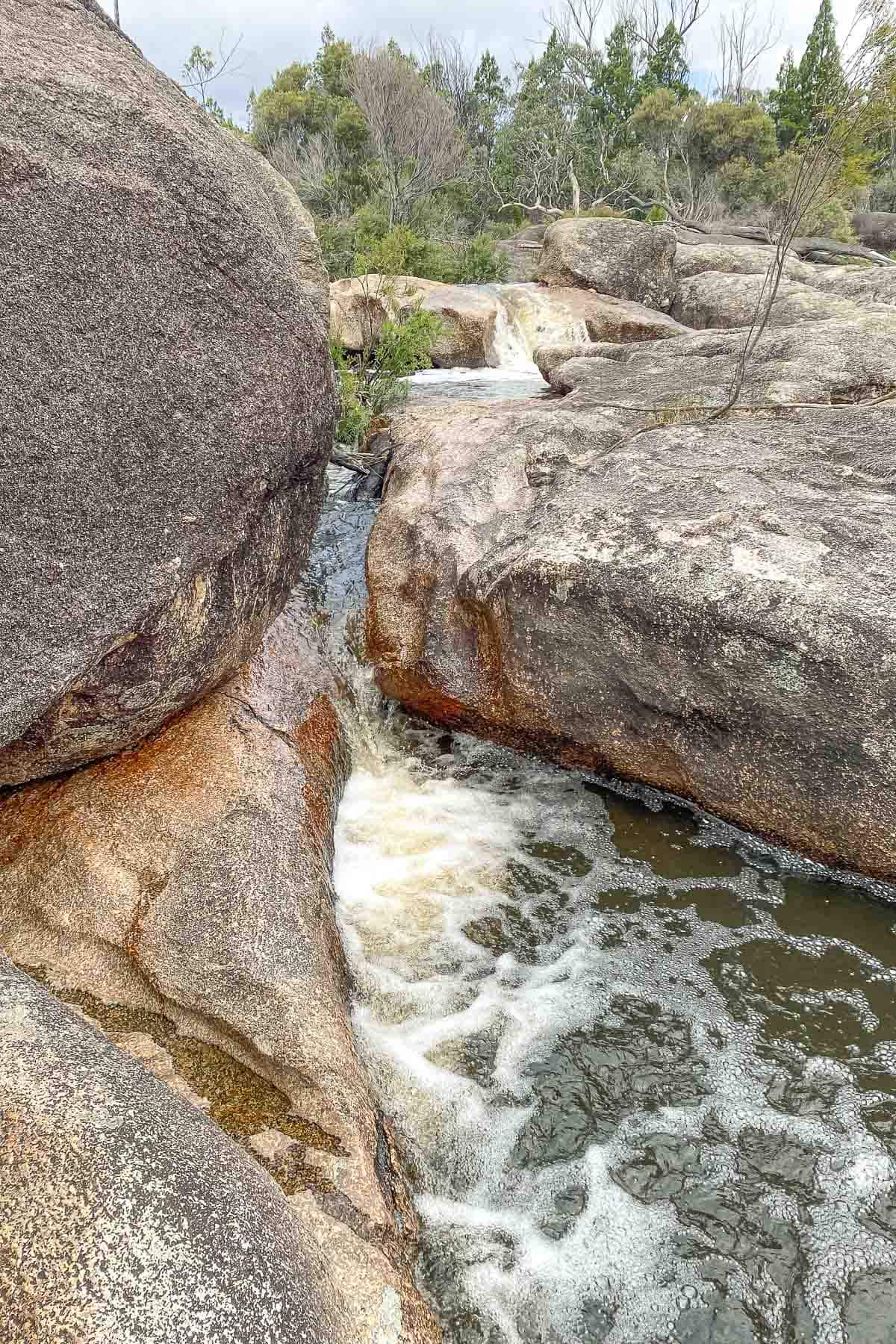
All up this took us about 2 hours for both Granite Arch and The Pyramid which included time at the top flying the drone and a few rest stops along the way up!
From here, we still hadn’t quite had enough, so we drove down to the Eastern walking tracks which takes you along a bit of a dirt road with much fewer people.
From here we did the 2.8km trail to Underground Creek which was a relatively flat and easy walk, but the epic rock wave formation is something special and it was so relaxing listening to the sounds of the water rushing through the rocks and just marvelling at how epic nature can be.
There are obviously many more hikes in the area, but if you have just one day to explore the parks like we did, then this combination of walks is a pretty good way to do it.
Planning Your Trip
Don’t let the fact that Stanthorpe and Girraween are in Queensland fool you into thinking this area doesn’t get cold. In fact for most of the year you’ll need to pack for all weather, expecting very hot, dry days and cold nights.
Personally, I wouldn’t plan a trip to Girraween in the summer months from December to February as hiking in those very hot and dry conditions is a very good way to end up with heatstroke. But if you do, just make sure to prepare with a lot of water, sunscreen, hat and seek rest and shade whenever you need it.
You’re pretty exposed to the elements when hiking The Pyramid so I’d recommend doing so early in the day or late in the afternoon to avoid the hottest part of the day.
In winter, it’s not unheard of for this area to get snow, so just make sure you check your weather forecast and pack accordingly.
We visited in April and it was the perfect balance of cold and cosy nights around the campfire, and warm days hiking in a t-shirt. In our opinion, the shoulder seasons, so around April or September are the best time weather wise to visit.
To round out the possible weather conditions is rain. Usually I would say don’t let rain spoil your plans and go anyway, however if your plan is to hike The Pyramid then I would be looking for a plan B. The surface of the granite becomes exceptionally slippery when even a small amount of water is on it. And slippery plus very steep plus cliff edges becomes quite dangerous and it’s recommended not to attempt it.
This is a fairly popular spot with both locals and tourists so if you’re wanting the place to yourselves, I’d recommend heading there on a weekday if at all possible. Our visit was over the Easter long weekend and while there were a lot of people and the carpark was very full, we still ended up with moments alone at the top, and other hikes like Underground Creek all to ourselves.
Where to Stay
There are two campgrounds inside Girraween National Park, Bald Rock and Castle Rock. At the time of our visit and through until the end of June 2022, Castle Rock camping area is closed as it’s being redeveloped.
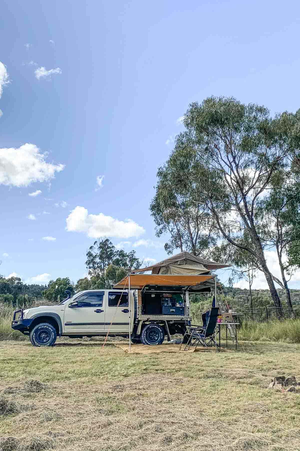
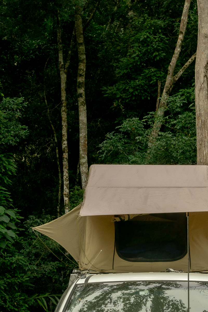
Bald Rock camping area is a great option if you want to be close to the walking tracks for a couple of days exploring all of the trails in the area. The campgrounds have toilets and the sites are suitable for camping next to, or in our case, on top of your car.
For more information on camping, park alerts, and booking and fee information, check out the QLD National Parks website.
For us, because this was a last minute trip decision over a major long weekend the campground was full, we decided to check out what options were available on Hipcamp and found a property on the outskirts of Stanthorpe that would give us a little more space to ourselves.
We had a spot in a cleared section of a paddock with views over the dam and spectacular sunsets each evening. Our neighbours were far enough away that we only heard them occasionally and couldn’t actually see them, giving us that peace of being quietly away from the real world.
Most of these farm stays on Hipcamp you’ll find require you to be completely self sufficient so bring your own toilet/shower, plenty of water for drinking and for cleaning. The owner was selling firewood but it was a bit on the expensive side, so I’d recommend bringing your own as you’ll want to make sure you have enough to keep warm and toasty all night.
There are so many camps in the area to choose from, but the one we stayed at was called Kookaburra Ridge Camp, which to be honest we chose simply due to availability and location.
For $10 off your first camp with Hipcamp, use the code SALLYAE87FB7.

Getting There
From Brisbane, Girraween National Park is about a 3 hour drive depending on traffic conditions. Head towards Warwick along the Cunningham Highway past Ipswich.
For an essential road trip stop, pull up outside the bakery at Aratula for a delicious cup of coffee and a hot pastry before continuing through Warwick and towards Stanthorpe on the New England Highway.
Stay on the highway, past the turn off to Stanthorpe until you reach the signs for Girraween National Park and turn left down Pyramids Road. From here, simply follow the road and you’ll reach the car park at Bald Rock day use area which is where The Pyramid hike begins.
Essential Info
- Toilets are available at the Bald Rock day use area at the entrance to the main walking tracks.
- Access to Girraween National Park is by conventional vehicle. There is a sealed road in from the highway. From the entrance to the main walking tracks up to Underground Creek is unsealed but will be suitable for most vehicles.
- There is no fishing allowed in Girraween National Park, and even if there was, there is nothing to catch! During the drought a few years ago, the waterways in this area ran dry and as such, most fish are now gone with the exception of the resilient River Black Fish. If fishing is your thing, head over to nearby Sundown National Park instead.
- Ensure to take care to leave the walking trails and campgrounds as you found them and take all rubbish out with you!
Leave a Reply